One major question in BIOPOLE is whether nutrient delivery from land-based sources is sensitive to climate change? If nutrient loading changes in a warmer world, and importantly, the balance of nutrients entering the sea changes, then the impacts on polar marine ecosystems could be profound. To answer this question requires our research team to track nutrients as they travel from headlands, glacial meltwaters, through rivers and lakes, into estuaries and the sea. Along these paths, many important processes take place. Some may send nutrients to the bed sediments or change their form so that they become more or less available for aquatic life, including algae, bacteria and zooplankton. The BIOPOLE project is designed to harness facilities and expertise across the NERC Centres and our partners to design a monitoring programme capable of capturing these changes in remote Arctic and Antarctic locations.
The BIOPOLE team have worked over the past few months to develop an approach to measure the sensitivity of major nutrient sources to climate change, in both Arctic and Antarctic ecosystems. They embarked on their maiden ‘land-cruise’ to Loch Etive, Scotland, where the Scottish weather put them to the test.
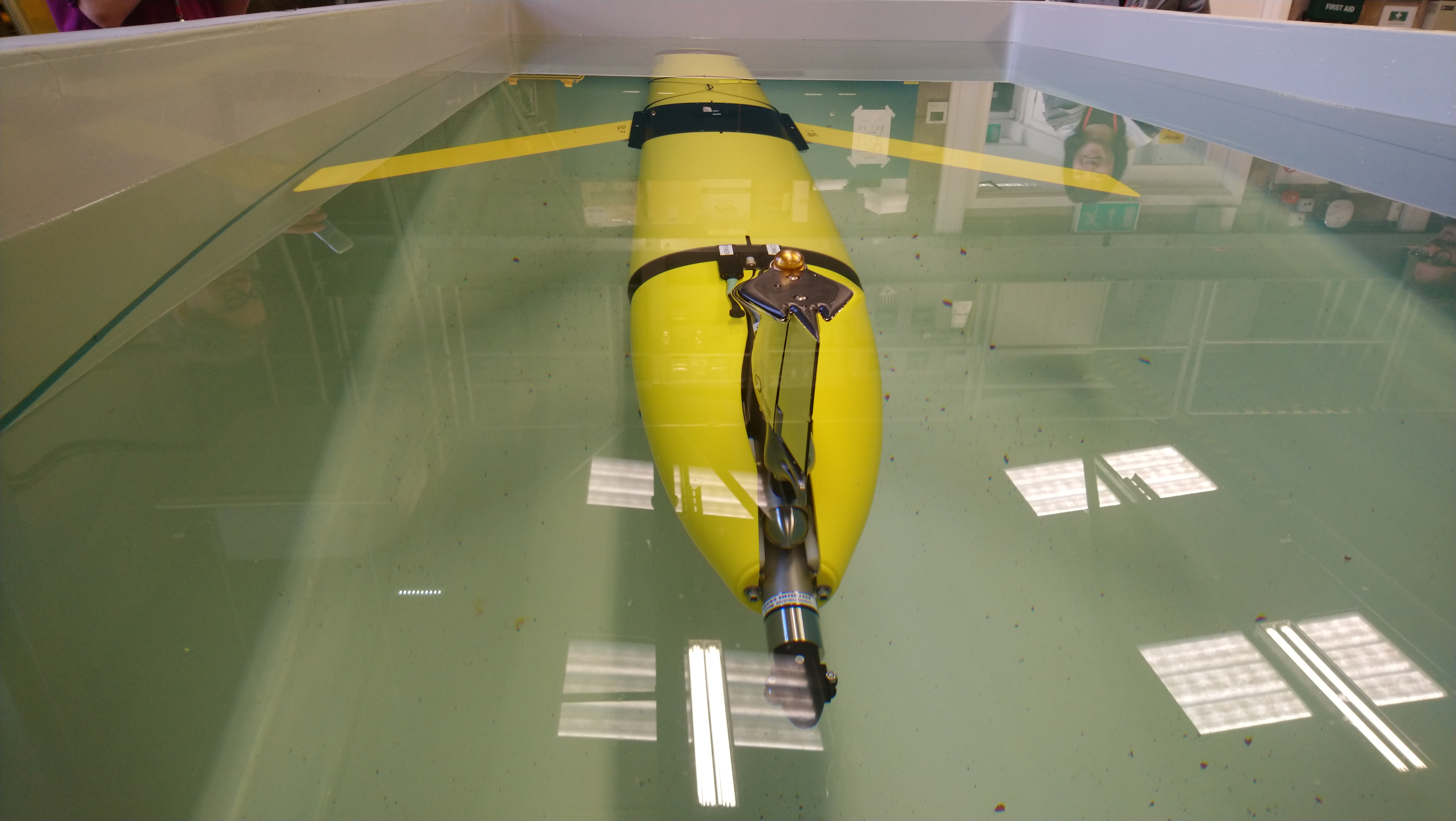
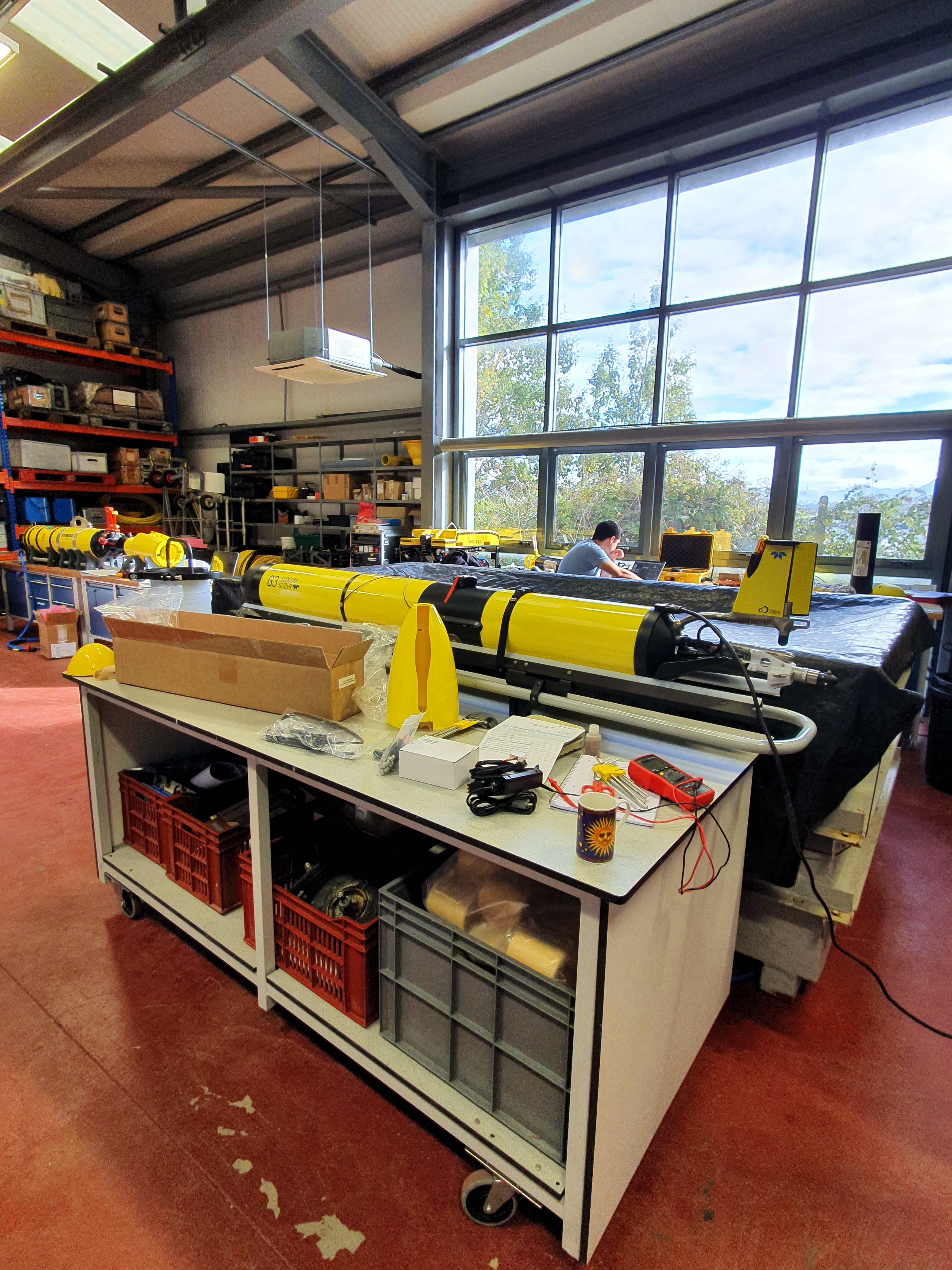
Preparing for the campaign. The campaign was designed to prepare the field and lab teams for deployment to our four polar research stations, later in the project. These stations are Ny-Ålesund and the Tana River, in the Arctic, and Rothera and King Edward Point, in Antarctica. The first job was to compile a list of determinants to be measured and to prepare field plans and analytical protocols, equipment and shipping logs. The team will ship most of the equipment they need from the UK to the polar research stations, and back again. So, it is important that we don’t forget anything, but also that we don’t end up with crates of equipment that the field team doesn’t need.
Day one of the Loch Etive field campaign saw discussions on logistics and practicalities of sample collection. The team had previously liaised with the NERC Polar Station Management Team at Ny-Ålesund (their first stop) to scope out the fieldwork. One central challenge is on reducing the volume of water and sediment collected from remote locations whilst maximising the data produced for the wider scientific community. There are, however, other reasons to consider reducing sample volumes that need to be carried across land. Where samples are to be collected on foot from rivers in the Arctic, we will be in polar bear country and will be equipped with firearms. [We have re-named the UKCEH RIB ‘The Sea Bear’ – Ursus maritimus].

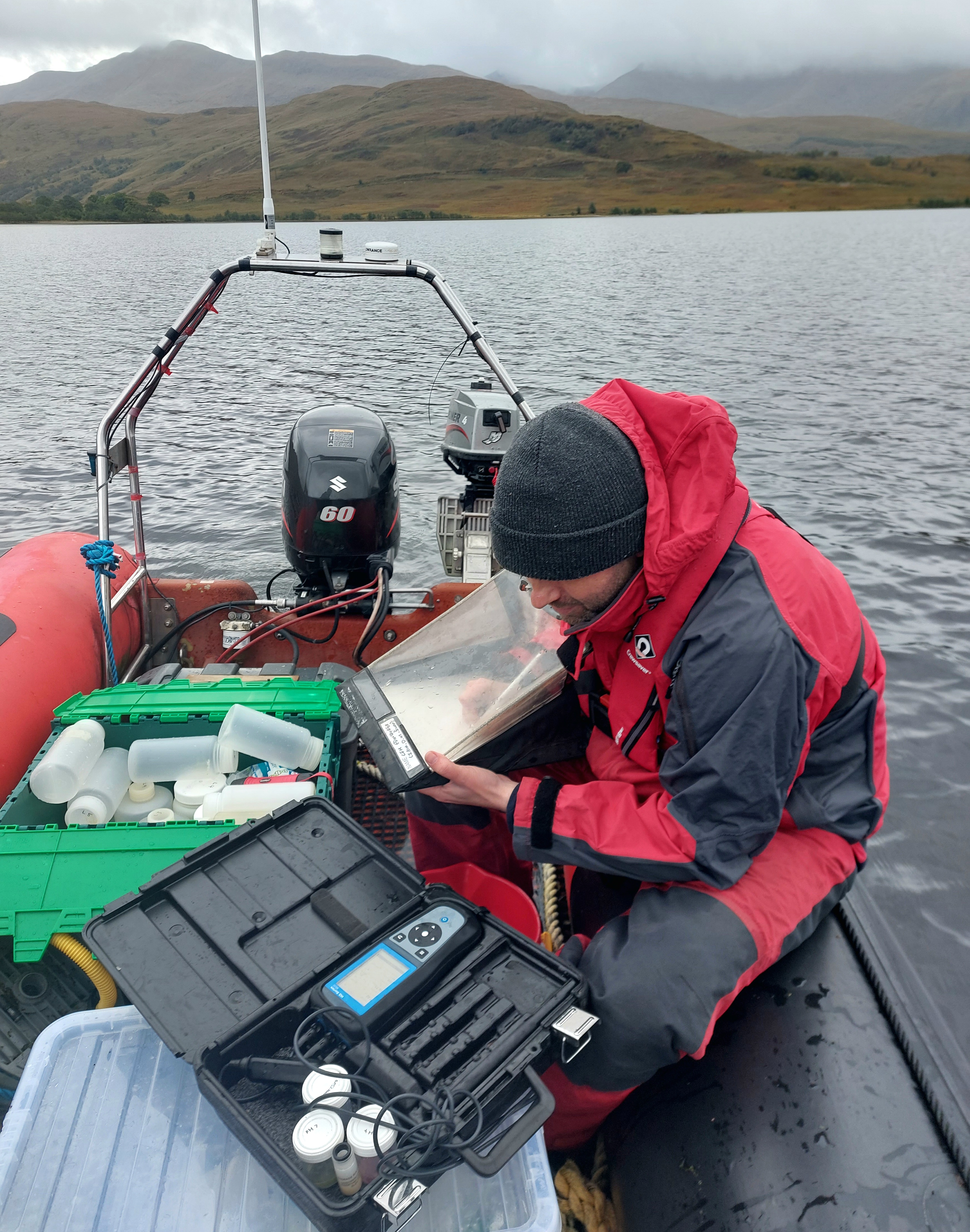
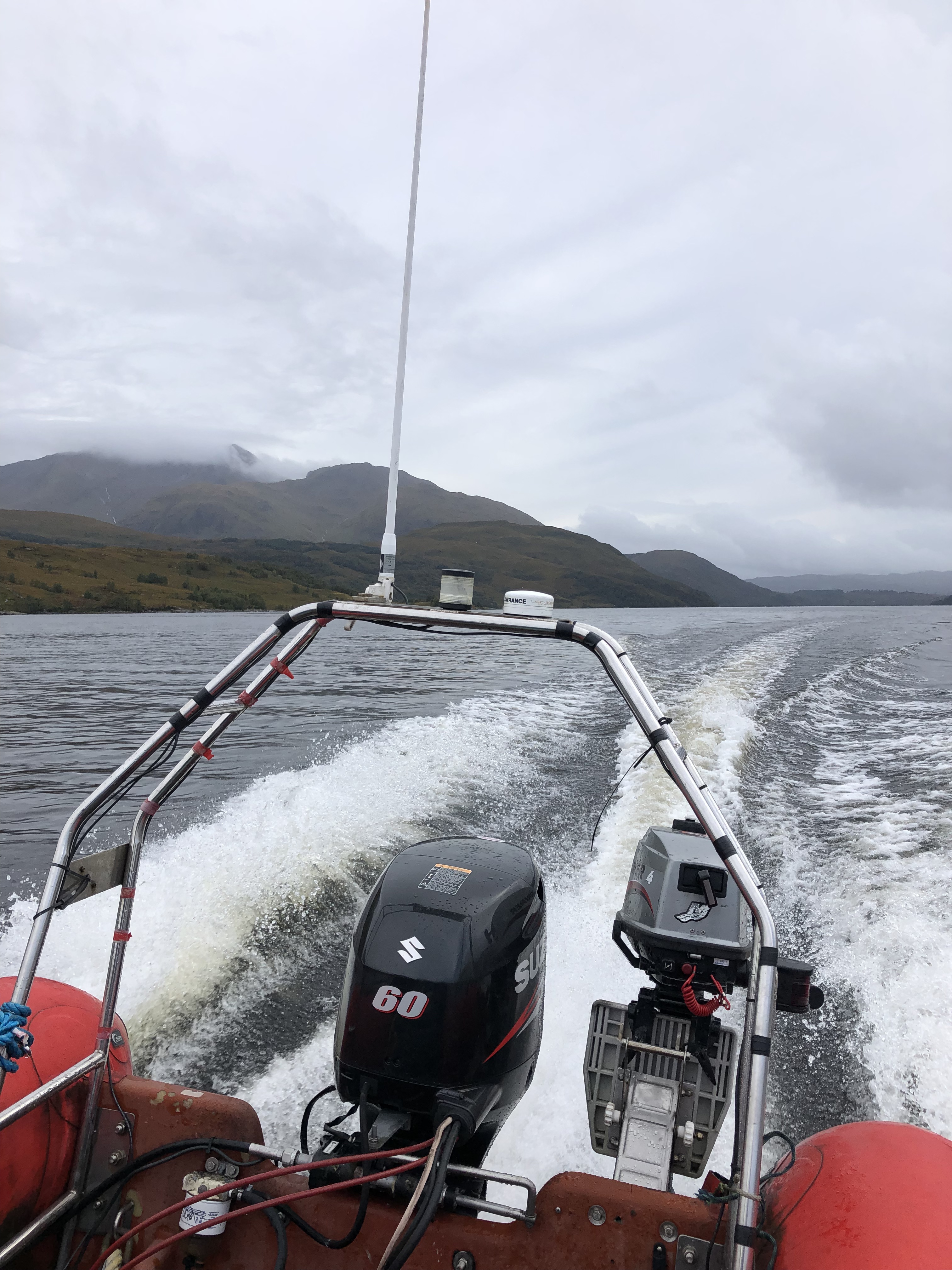
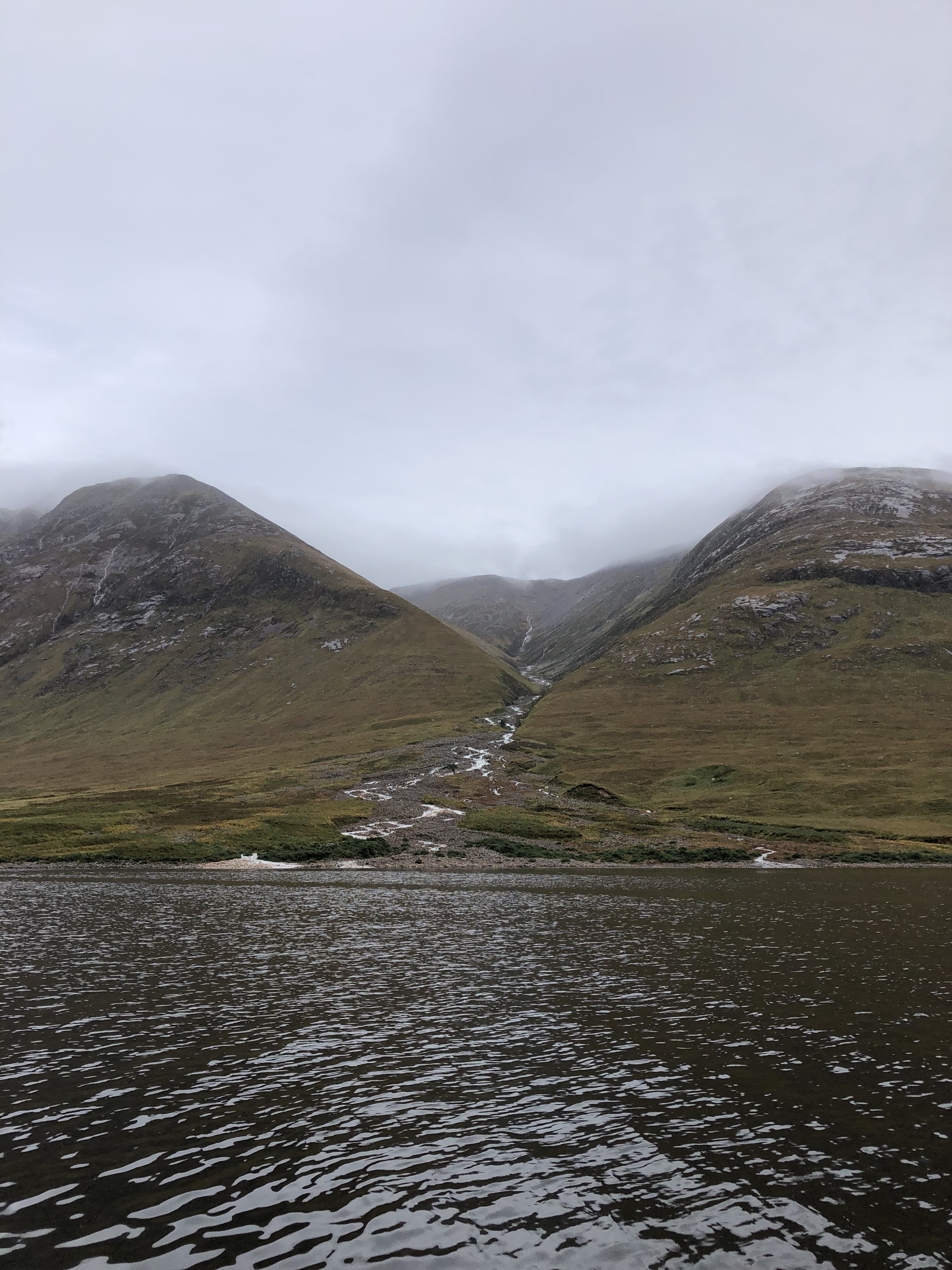
Day 2 to 4. Three sub-teams deployed to collect samples from 21 stations around Loch Etive. These stations included major inflows, sampled by foot, and transects along a salinity gradient down the loch, sampled by RIB Sea Bear. This latter survey was interrupted as winds topped 40 MPH, making boat work unsafe. Before the winds picked up, we did manage to sample some of the upper loch, in the hour or two break in the sideways rain. This uncovered a stunning display of ephemeral streams in full flow, and indicated the short-lived nature of nutrient delivery under extreme climatic events – a problem to be covered in our sampling design. Day 4 saw a final outing for RIB Sea Bear on the loch survey. If we didn’t hit this window, the data set would be compromised. It was worth the wait. The team were treated to glorious autumnal weather, calm waters, sea otters, seals and, double rainbows, and, best of all, a full cool box of sample bottles.


Of course, science isn’t all polar bears, double rainbows, and ephemeral streams. The reality is often many hours in the lab. The lab sub-team were based at the Scottish Association for Marine Science (SAMS), Oban. Samples were dropped off through the week by the field teams for processing. The lab team worked to create a protocol for preparing samples, filtering hundreds of litres of water, and labelling bottles and tubes. This has been captured in one of the finest spreadsheets ever created; to track sample collection, preparation and storage, through to shipping to analytical laboratories in the UK and internationally.
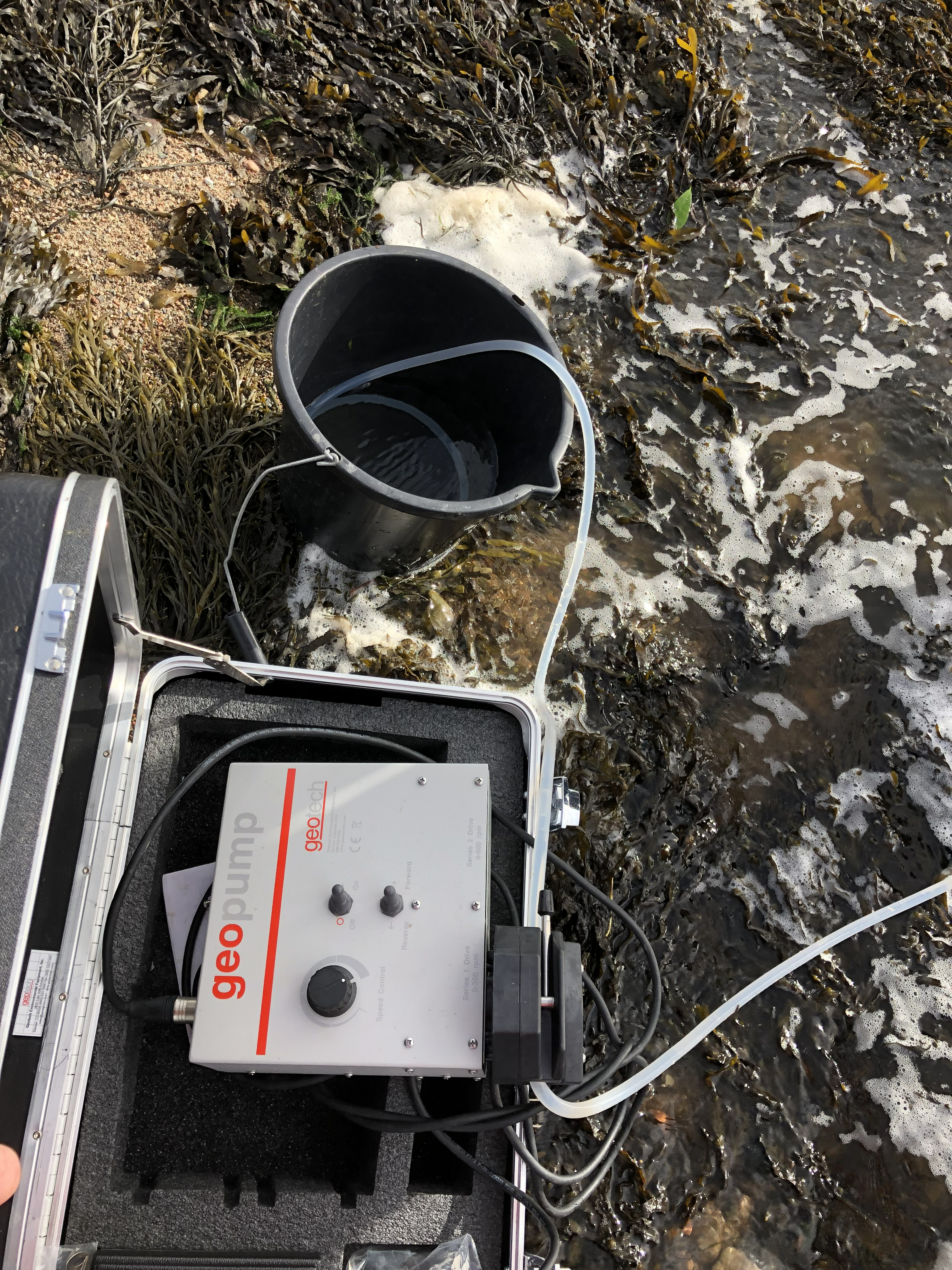

What information will we produce? Our samples will be shipped to various analytical laboratories to produce data on nutrient concentrations and tracers of nutrient sources so they can be tracked as they travel through the loch to the sea. Samples were collected for eDNA analysis, to capture snapshots of the biological communities across the loch. Field and laboratory experiments were trialled to assess interactions between nutrients and suspended sediments and algae, and the major processes acting to alter nutrient delivery from land to sea. In the end, we should know where the nutrients are coming from, how they are transformed as they travel through the loch, and how much of this makes it out to sea.
What happens next? The team is now working hard to review, refine and revise the protocols, based on experiences from Loch Etive and the data produced, in consultation with our project partners. When everyone is happy, we will publish the protocols on this website. They will form the basis of the land-based field campaigns at the Polar Stations, later in the project.
The authors of the blog – Bryan Spears, Alanna Grant, and Nathan Callaghan from the UK Centre for Ecology & Hydrology